


The consolidation of Roman rule in the north-west of the Iberian Peninsula led to a new territorial organisation, based on the creation of a series of large cities with a network of roads linking them to each other and to other important towns in Galecia.
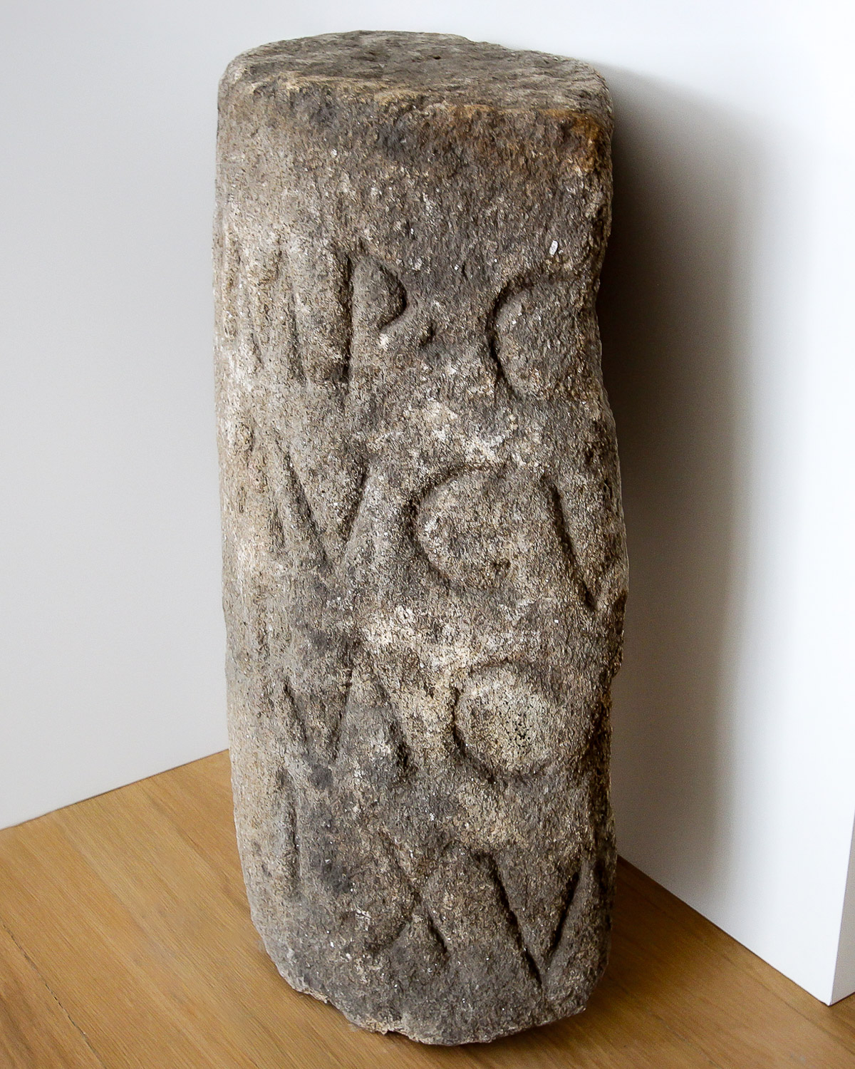
The current territory of the TVAP was then part of the Conventus Bracarensis, crossed west-east by the important Roman military road that linked Bracara Augusta (Braga) to Asturica Augusta (Astorga), via Aquae Flaviae (Chaves), the so-called Via XVII, which crossed the headwaters of the Terva river valley between Ardãos and Seara Velha. Recorded in the 3rd century in the Itinerarium Antonini, this route was probably structured during the time of Emperor Augustus (1st century), as evidenced by some of the milestones that signposted it.
THE TVAP INTERPRETATION CENTRE PROVIDES ADDITIONAL INFORMATION ON HOW TO FOLLOW THIS ROUTE.
In the Middle Ages, and accompanying the consolidation of the Kingdom of Portugal, a new settlement was built, also served by a new communications network. The TVAP area, then part of the so-called Terra de Barroso, saw the development of roads that crossed the valley in a north-south direction, reinforcing the southern connection between Chaves and Braga, via Carvalhelhos and Salto.
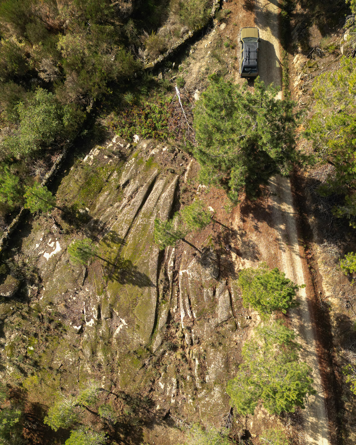
Roman Road XVII
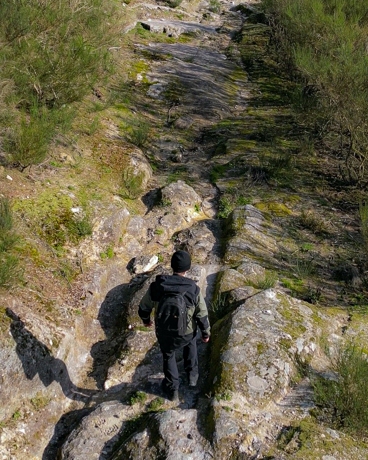
Medieval Road of Contenda Castle
More about the Terva Valley Archaeological Park (TVAP) here.
