

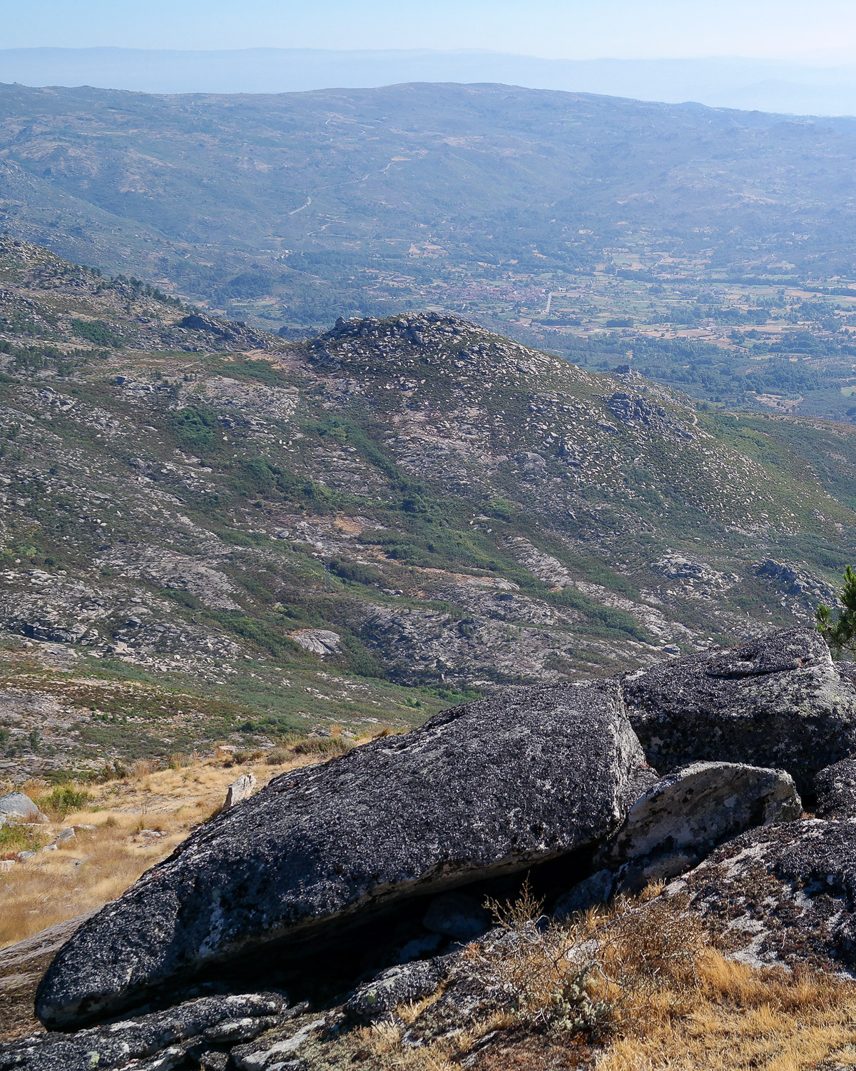
The Hillfort of Nogueira, located on a spur of the southeastern slope of the Serra do Leiranco, is one of the most significant fortified settlements in the Terva Valley, occupying an area of approximately 6 hectares. Situated at an altitude of over 900 metres, its location provides good natural conditions of protection, visually controlling the entire initial basin of the Terva Valley.
The defence system is made up of three lines of wall.
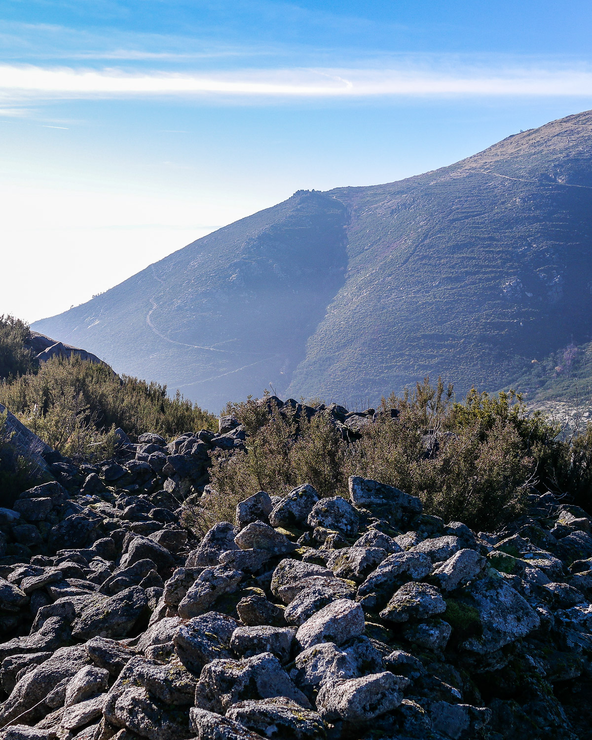
The defence system is made up of three lines of wall: the first line of wall delimits the acropolis area; the second, the most obvious due to the large overthrow associated with it, structures the middle platform of the settlement; the third line forms the lowest platform of the settlement, continuing down to the small promontory that abruptly breaks the slope to the southeast. To the north-west, in the area where it is most vulnerable, the settlement is protected by a field of cut stones, most of which have fallen.
On the platforms defined by the walls we can see the existence of buildings and on the surface there are abundant fragments of ceramics from different productions, bearing witness to an occupation that may date back to the 4th-3rd centuries BC.
Location
The dirt roads are not suitable for light vehicles.
More about the Terva Valley Archaeological Park (TVAP) here.
More about the TVAP Hillforts Route here.
