


Far from the urgency with which people live in the cities, life in the Terva Valley has a different pace, time slows down and the feeling of constant delay in reaching your destination is diluted by the wise calm with which everything is done, in its own time, in its own space.
Here there is still plenty of time for remembrance. On this scale of time where the days seem longer, between the arduous hours of work and the moments of rest, people remember, tell and retell and, in this stubborn desire not to forget, bringing the past into the present, they resist by creating new spaces, new times, new identities and new voices.
THE TVAP INTERPRETATION CENTRE PROVIDES ADDITIONAL INFORMATION ON HOW TO FOLLOW THIS ROUTE.
It is in this repetition/reconstruction of memories that we find the villages of Ardãos, Nogueira, Bobadela, Sapelos and Sapiãos, immersed in unique, authentic values, making those who pass through and experience at least one day of life in the villages never forget them.
Ardãos
Situated at the foot of the Serra do Pindo, the village of Ardãos is one of the largest agricultural plots on the north-western edge of the headwaters of the River Terva, which its inhabitants continue to exploit as the main resource of their agro-pastoral economy. At the same time, Ardãos is located on the route of an ancestral communication route of the Barrosão plateau, corresponding in Roman times to the Via XVII, which connected Bracara Augusta (Braga) to Asturica August (Astorga), via Aquae Flaviae (Chaves).

The urban centre retains its houses of traditional architecture, with narrow, winding streets that converge into small public squares, establishing a model of medieval origin.
To visit Chapel of São Roque, Chapel of Santo António, Parish Church, Sanctuary of Senhora das Neves, ‘Forno do Povo’ (People's Oven), Diving Fountains, Cross, Traditional Houses.
Bobadela
The village of Bobadela is located on a small hill at the foot of the eastern slope of the Leiranco mountain range, nestling between meadows, fields and woods. Its location on the edge of the valley is closely linked to the agro-silvo-pastoral exploitation common to all the villages in the Terva Valley.
Maintaining its medieval planimetry, the village still has streets orientated around small public squares, where the daily routes of work and rest intersect and where, when the sharing of responsibilities requires it, things of common interest are decided.
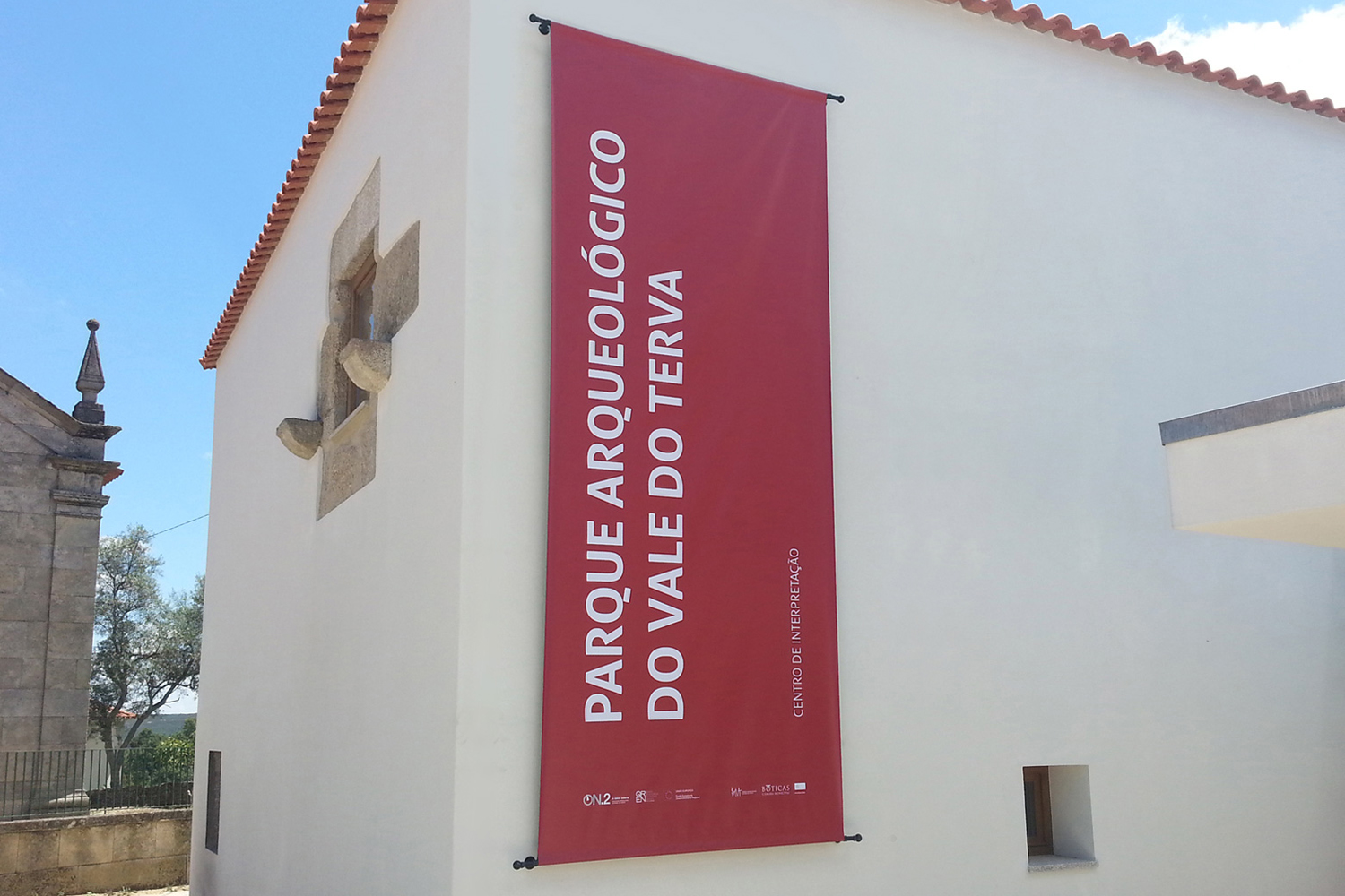
Here in Bobadela, the know-how, refined by centuries-old practices and passed down from generation to generation, is materialised in countless pieces and tools for everyday use that the local people lovingly preserve and display in the Casa das Memórias (former Rural Museum). The Interpretation Centre of the Terva Valley Archaeological Park has also been installed here, adapting the old parish house.
To visit Parish Church, Chapel of São Lourenço, House of Memories, House of the Macedo family, Cross, Traditional houses, ‘Forno do Povo’ (People's Oven), Sundial, Manueline Window, Turning Mills.
Nogueira
The village of Nogueira is located at the foot of the eastern slope of the Serra do Leiranco, about 1 kilometre from the village of Bobadela, to which it has been linked since the foundation of the municipality of Boticas in 1836.
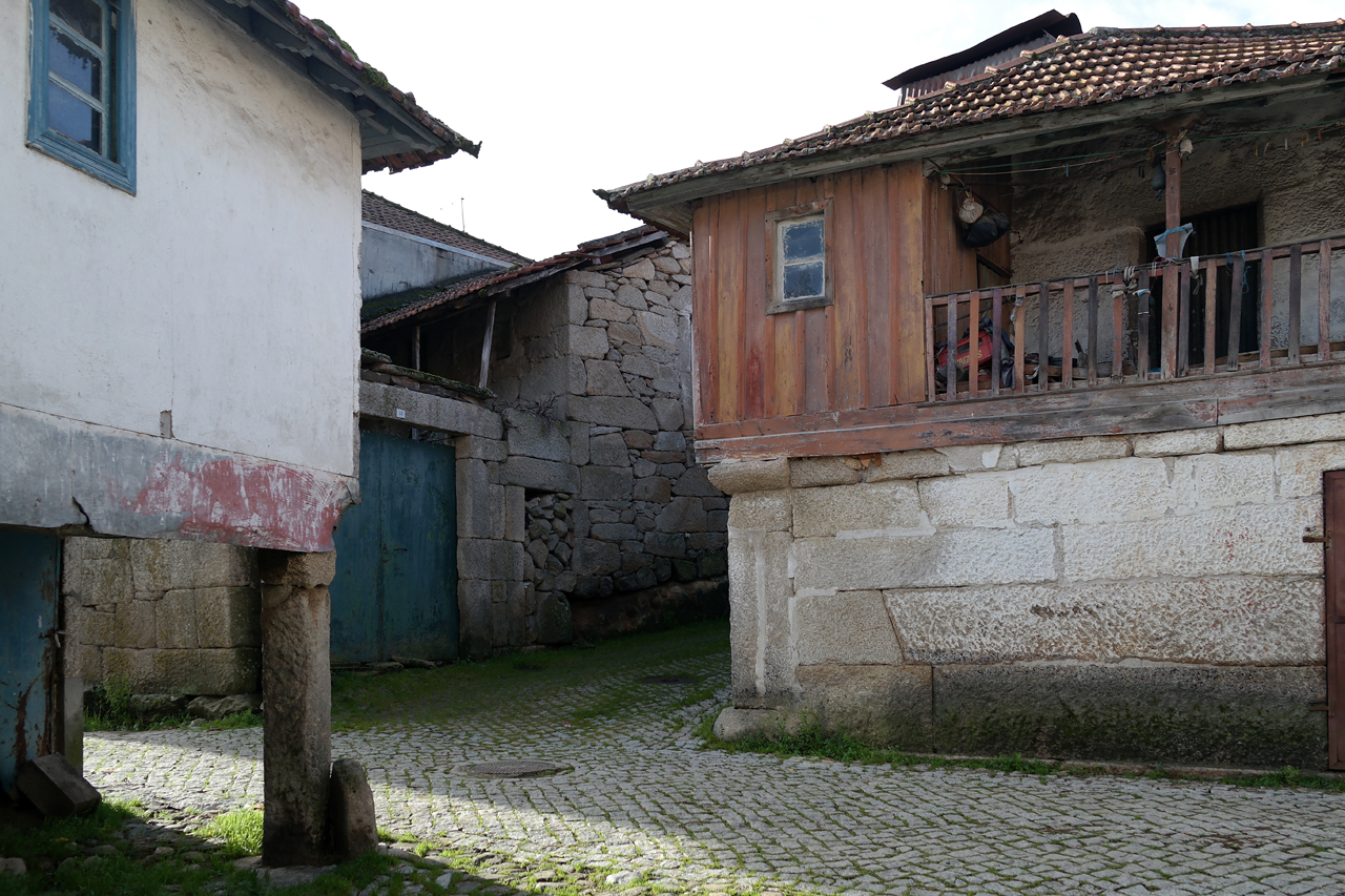
Overlooking the farmland that stretches down into the valley, its traditional houses cluster around an intricate network of streets and lanes that unexpectedly end in the surrounding fields.
The Lamas do Boi do Povo are auctioned off in Nogueira every year or every five years.
To visit Chapel of São Mamede, Chapel of São Caetano, Calvário, ‘Forno do Povo’ (People's Oven).
Sapelos
The village of Sapelos is located at the foot of the western slope of the Serra do Facho, on the eastern edge of the Terva Valley, dominating the wide and fertile farmland on the left bank of the River Terva. Two important and ancient communication routes converged there, from Arcos and Beça, which at Sapelos branched off to Chaves, through the Tâmega valley.
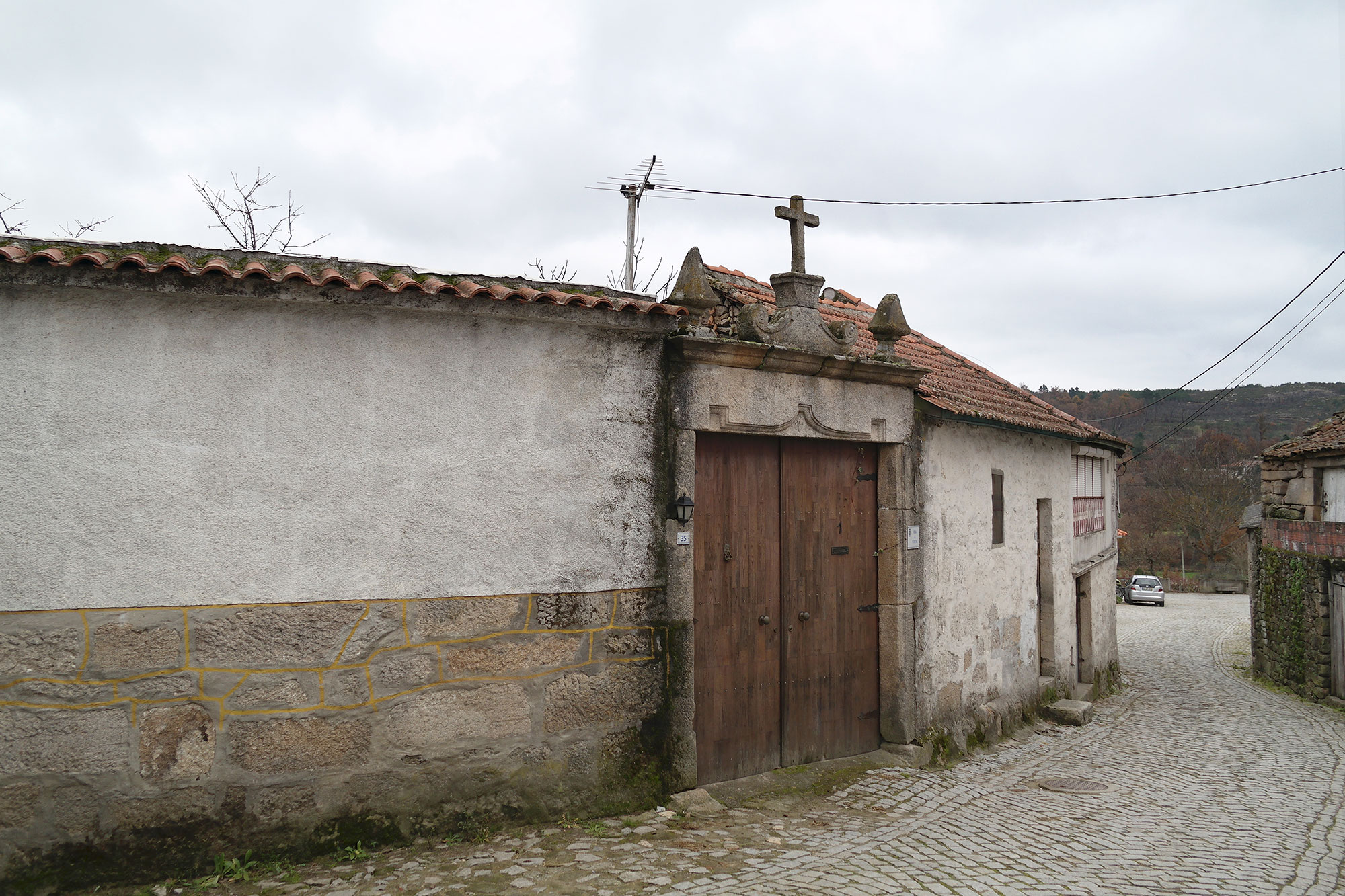
Still composed of the traditional granite houses, which run lengthways along the old road, some of the buildings in Sapelos have a more refined architecture, which can be seen in some of the portals with neoclassical decoration.
To visit Chapel of Santo Amaro, Casa do Portal, Cruzeiro, ‘Forno do Povo’ (People's Oven), Sanctuary of Senhor dos Milagres.
Sapiãos
The village of Sapiãos is located at the foot of the southeastern slope of the Serra do Leiranco, linking Chaves to Braga through the interior of Minho, via Beça and Cabeceiras de Basto, in a strategic location that also serves the current connection to Montalegre. It retains its rural surroundings of fields and woods, long linked to the agro-silvo-pastoral economy that characterises this entire region.
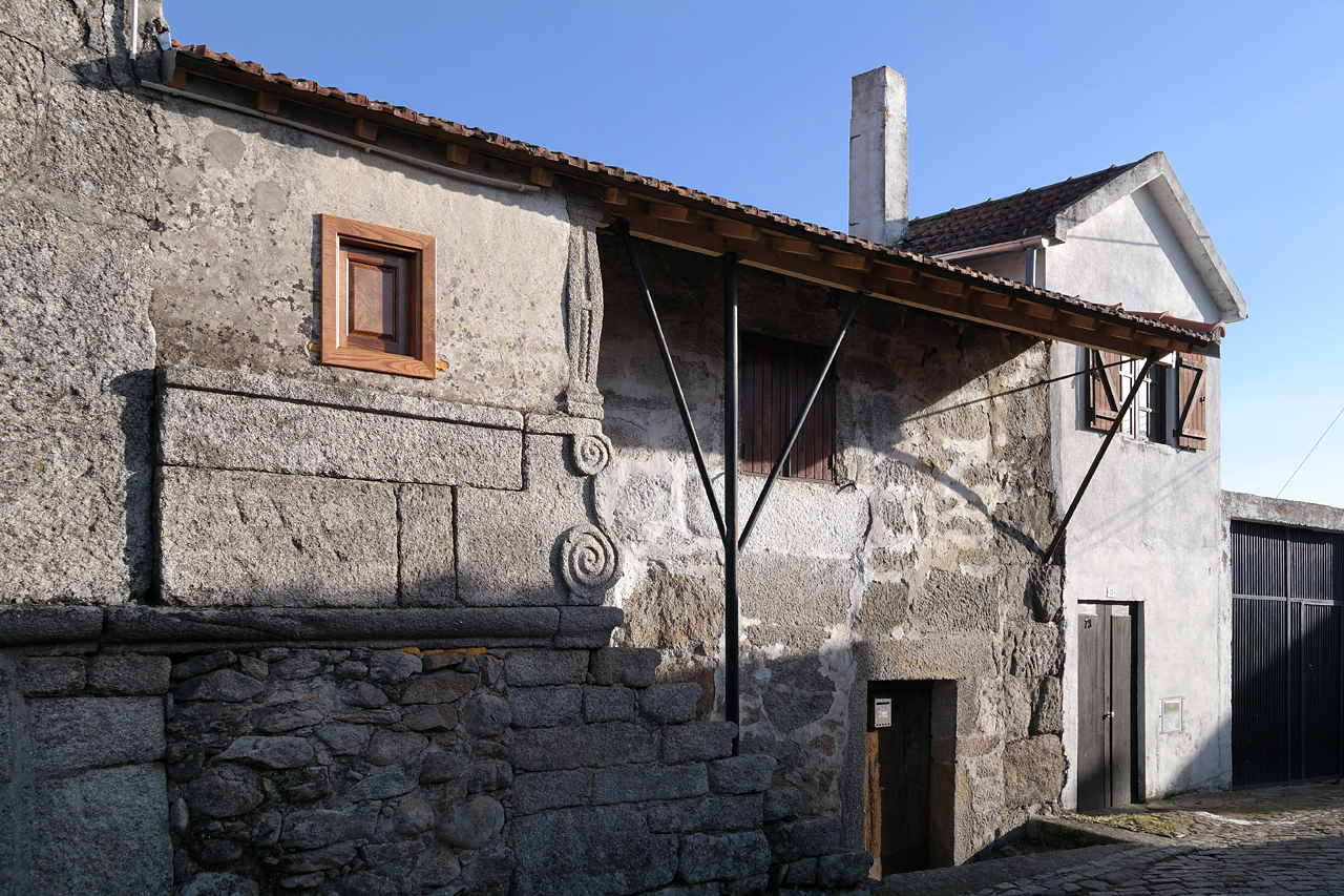
The traditional granite houses are arranged along the hillside, organising narrow, winding streets, preserving the morphology of medieval origin, here marked by the crossing of the old road link.
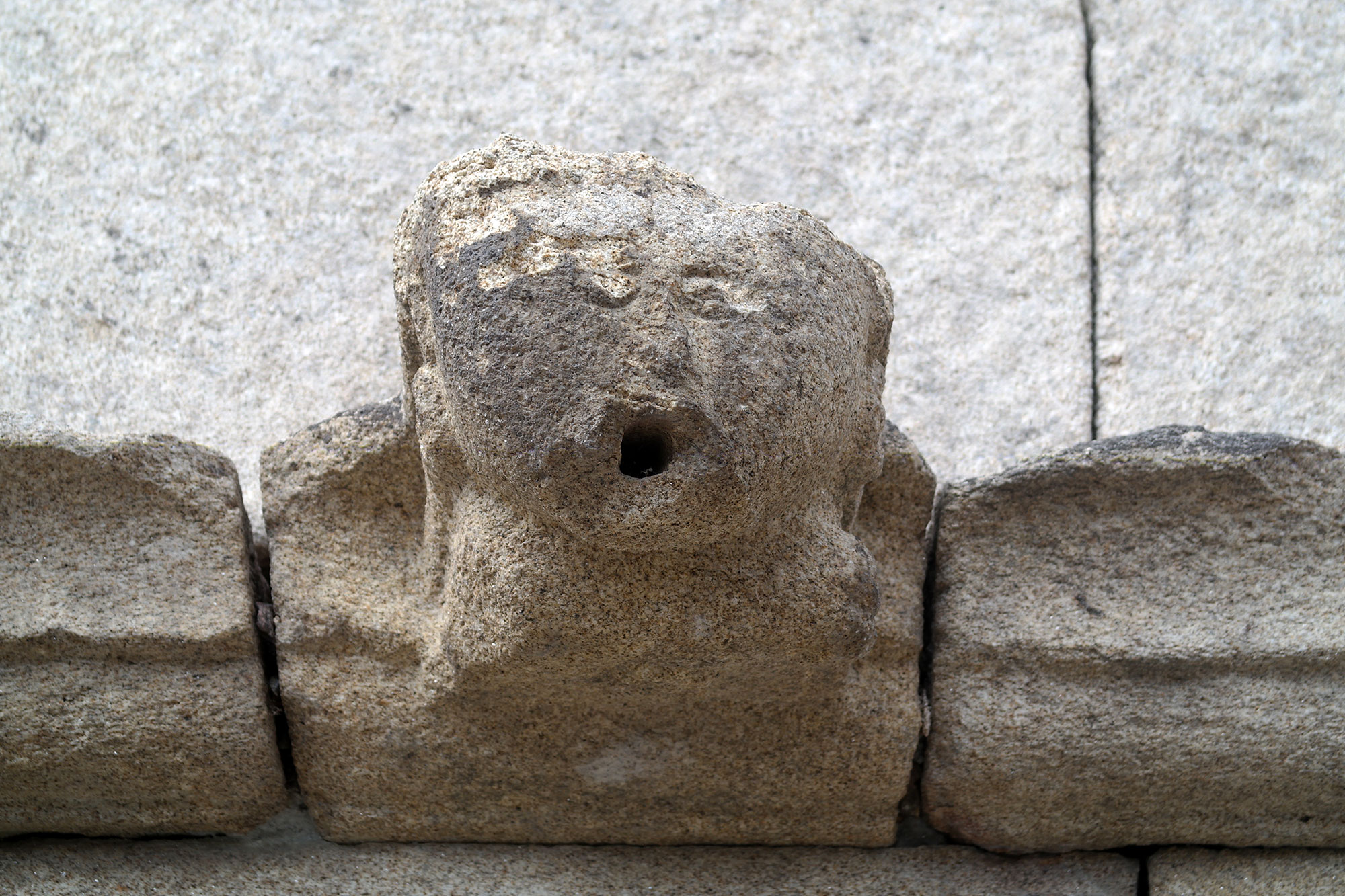
Some monuments from medieval times remain, such as the late Romanesque chapel in the village cemetery or the anthropomorphic graves in the place of Pássaros.
To visit Parish Church of St Peter, Old Church (Cemetery Chapel), Chapel of Our Lady of the Angels, Calvary, Crosses, medieval graves of Pássaros, ‘Cruz das Almas’, ‘Pontilhão’, Covered Fountain.
More about the Terva Valley Archaeological Park (TVAP) here.
